The Terrain to Mesh tool, located under the Points tab, converts a point cloud with a regular terrain structure into a mesh by triangulating the points. It is intended for terrain-like point data arranged in a regular grid rather than arbitrary 3D point clouds.

Clicking Terrain to Mesh immediately starts the triangulation process. Unlike general point-cloud meshing tools, it is intended for regularly structured terrain data and preserves the grid-like organization of the source points during triangulation.
This makes Terrain to Mesh particularly suitable for structured elevation data, such as topographical or geographical surveys, where maintaining the regular terrain layout is important for landscape modeling, mapping, or civil engineering workflows.
Once the operation is complete, MeshInspector creates a triangulated surface that follows the shape of the original terrain point cloud, including its hills, slopes, and depressions.
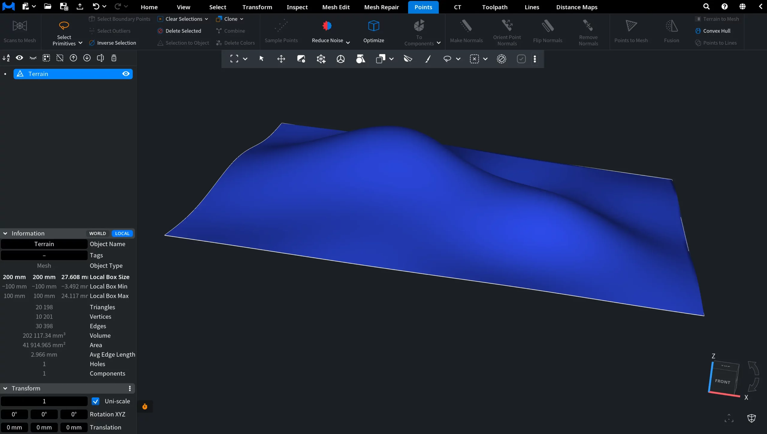
How the Terrain to Mesh Tool Works in MeshInspector