The Mesh to Distance Map tool, located under the Distance Maps tab, allows you to create a distance map from a selected mesh object. The tool converts the geometry of the selected mesh into distance-map data, creating a new Distance Map object that can be used for further distance-related operations and visualization.

Mesh to Distance Map: Panel
After selecting a mesh object, click Mesh to Distance Map under the Distance Maps tab. MeshInspector opens a dedicated panel for generating a distance map from the selected mesh.
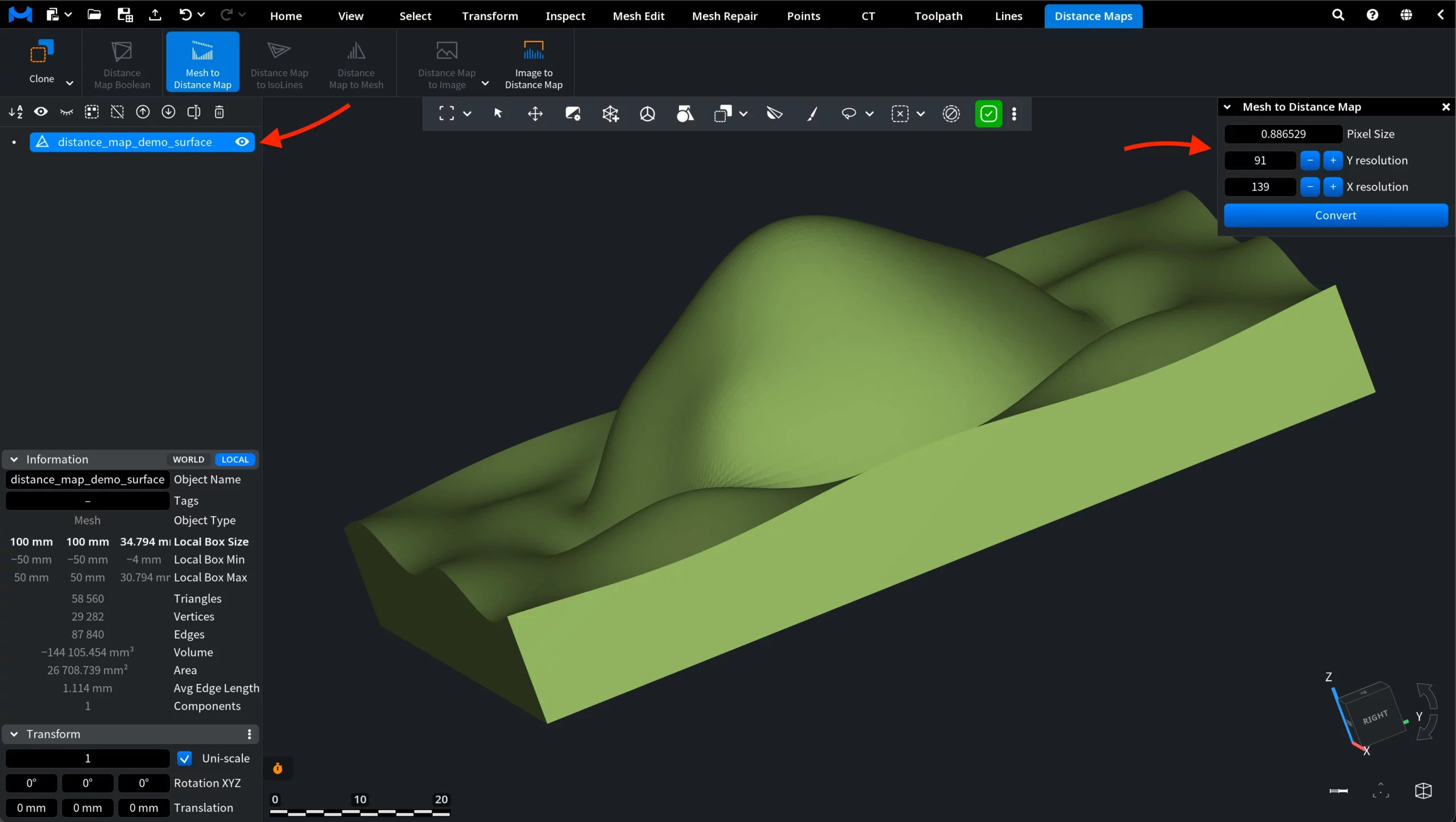
The panel contains the following settings:
- Pixel Size defines the size of one pixel in the generated distance map. A smaller value creates a more detailed map, while a larger value produces a coarser result.
- Y resolution defines the number of pixels along the Y direction.
- X resolution defines the number of pixels along the X direction.
The resolution values are linked to the Pixel Size setting. When you adjust the pixel size, MeshInspector updates the X and Y resolution values accordingly. You can also use the plus and minus buttons to change the resolution manually.
Mesh to Distance Map: Result
After the required settings are configured, click Convert. MeshInspector generates a new Distance Map object from the selected mesh and adds it to the Scene tree.
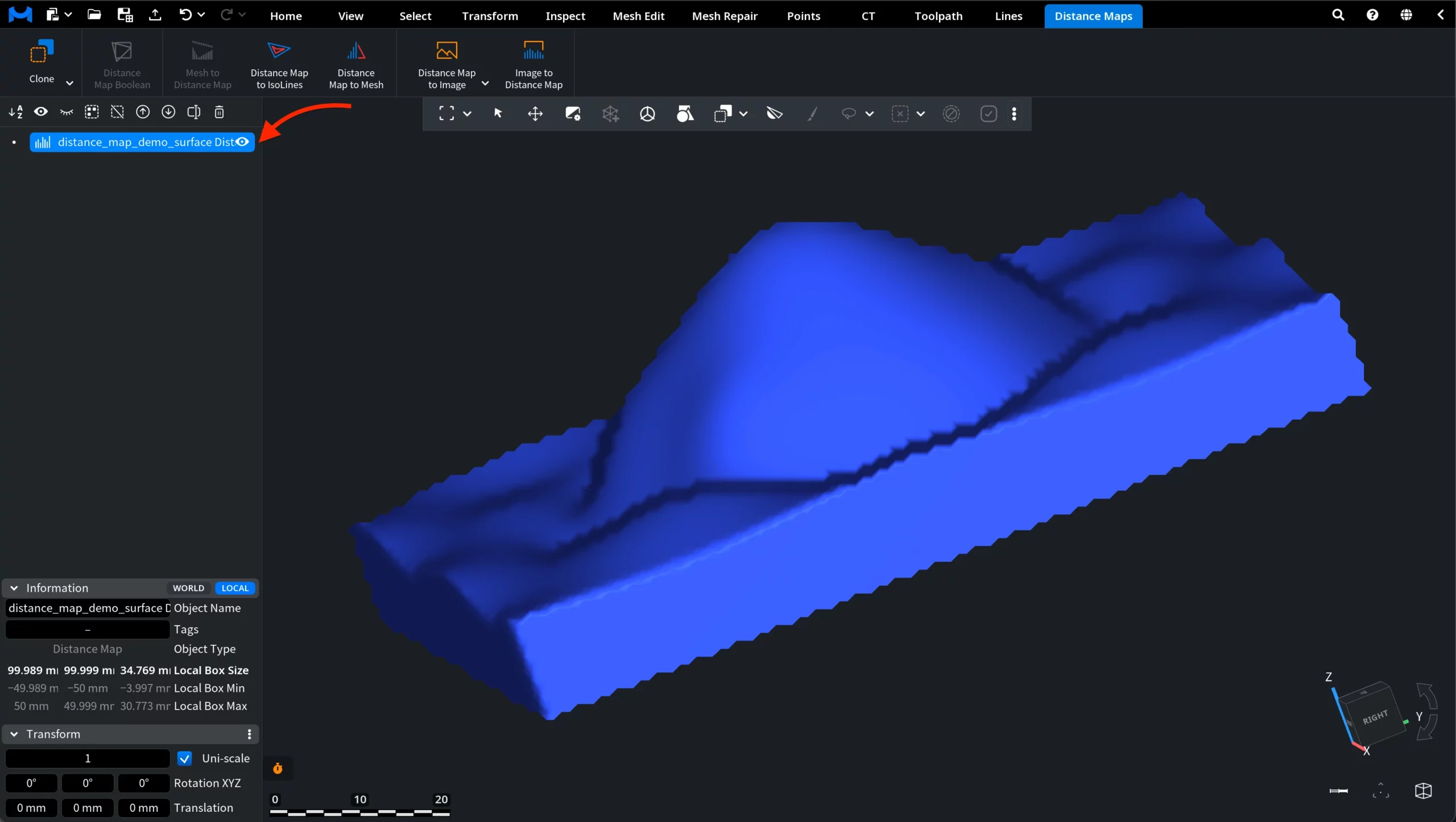
In the viewport, the generated distance map follows the shape of the source mesh, but it is now represented as distance-map data rather than as a regular mesh object. In the Information panel, the object type is displayed as Distance Map.