The Distance Map to Image Advanced tool, located under the Distance Maps tab, allows you to export a selected distance map as an image with an additional Threshold setting. Unlike the basic Distance Map to Image tool, this mode opens a dedicated panel before export, giving you more control over how distance-map values are represented in the resulting image.

To use the tool, first select a Distance Map object in the Scene tree. After you open the drop-down menu next to Distance Map to Image and choose Distance Map to Image Advanced, MeshInspector opens a dedicated panel with the Threshold setting and the Export button.
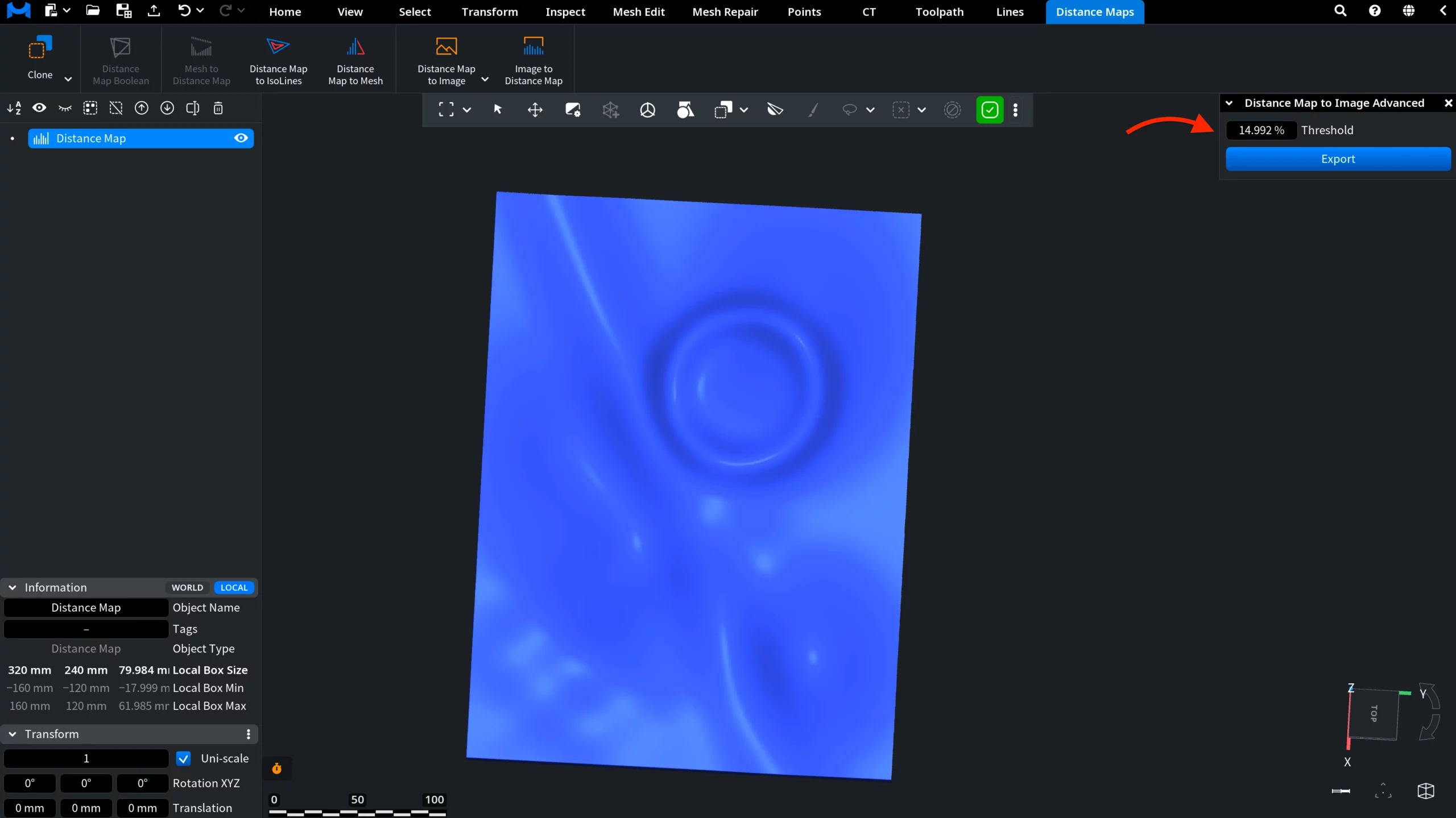
Threshold defines the cutoff boundary used during image export. Distance-map values greater than the Threshold are rendered black in the exported image, while values below the Threshold are linearly interpolated into image tones.
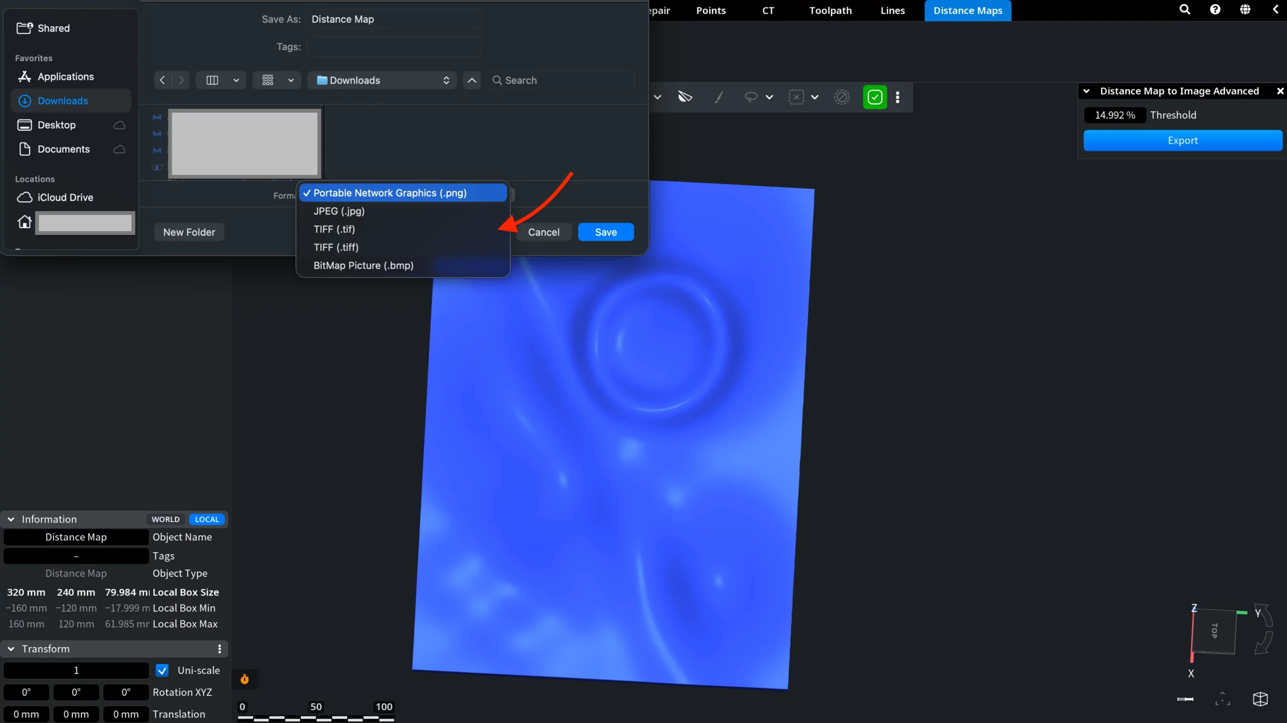
After setting the required Threshold value, click Export. MeshInspector opens a Save window where you can choose the file name, location, and output format.
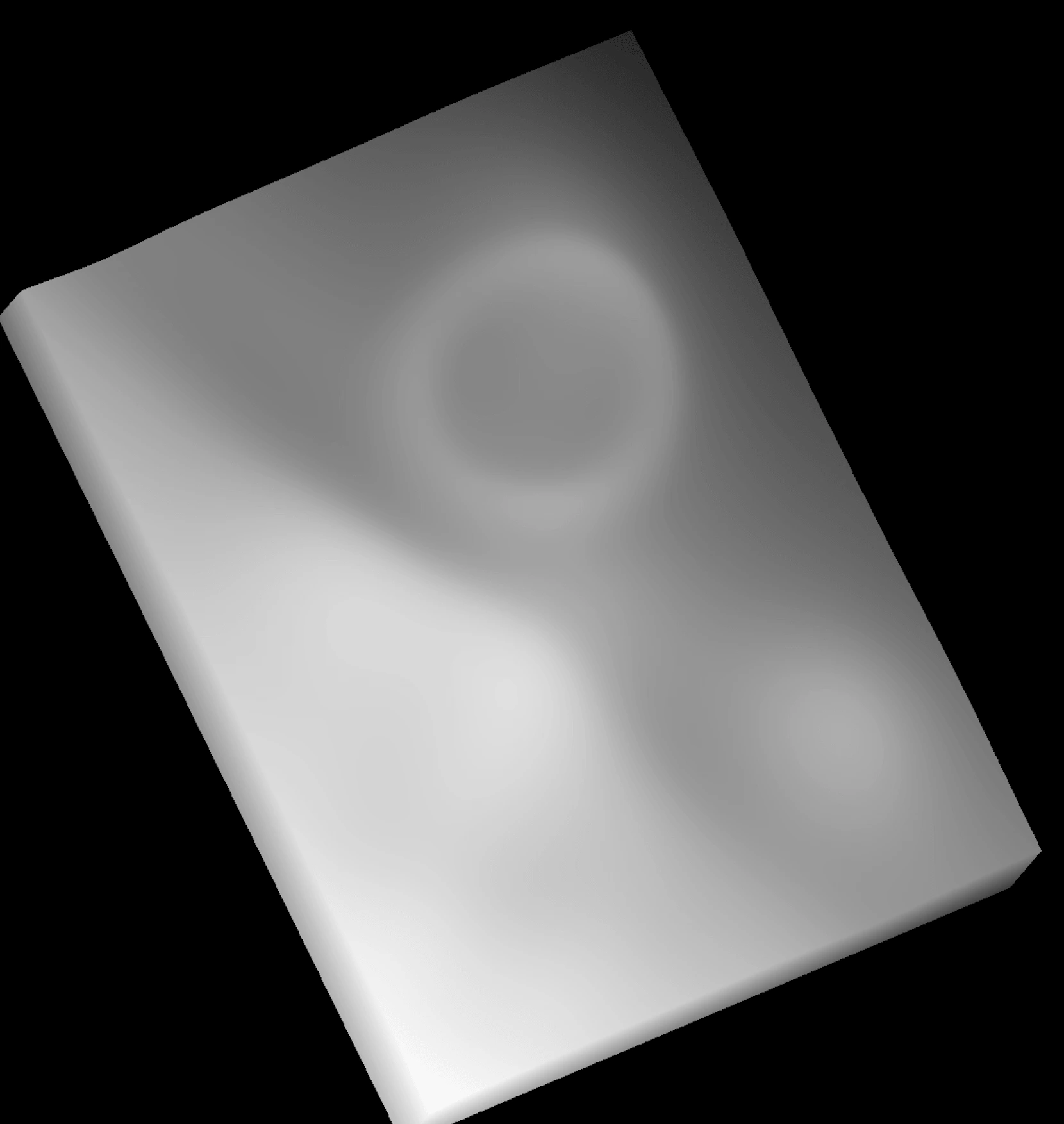
In the example below, the distance map was exported with a lower Threshold value. With a lower Threshold, more distance-map values are above the cutoff boundary and are rendered black. Values below the Threshold are still linearly interpolated into image tones.
In the next example, the distance map was exported with a higher Threshold value.
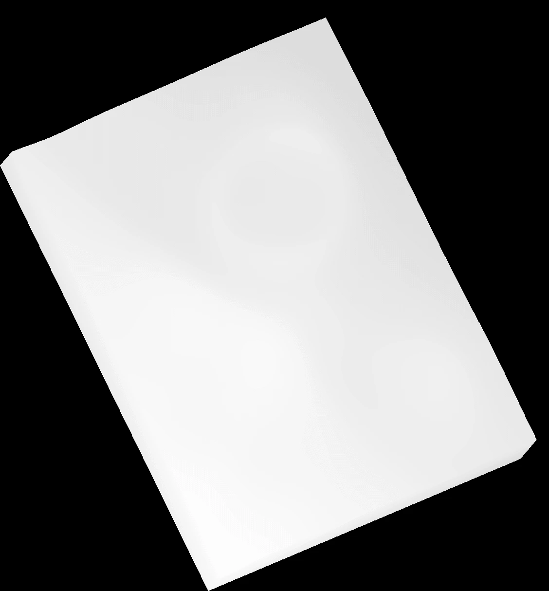
With a higher Threshold, a wider range of distance-map values remains below the cutoff boundary and is linearly interpolated into image tones. Only values greater than the Threshold are rendered black.