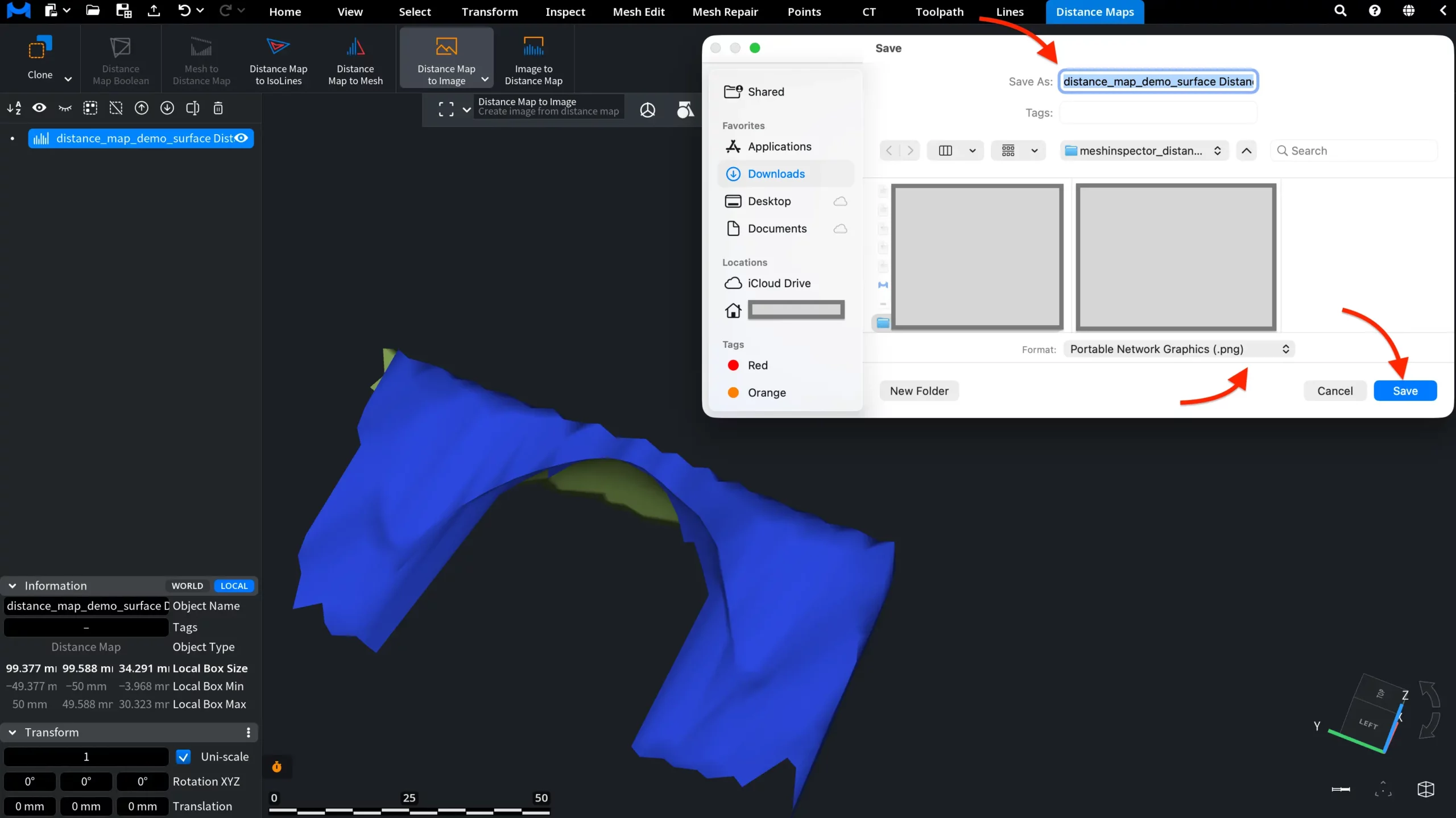
The Distance Map to Image tool, located under the Distance Maps tab, allows you to create an image from a selected distance map. The tool converts distance-map data into an image representation. To use it, first select a Distance Map object in the Scene tree. Then click Distance Map to Image.

MeshInspector opens a Save window where you can choose the file name, location, and image format.
Several output formats are available, including PNG, JPEG, TIFF, and BMP. 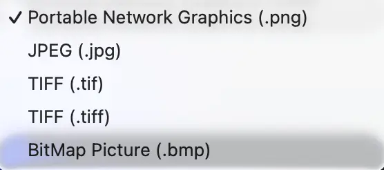
After choosing the required format, click Save. The distance map will be saved as an image file in the selected format.